 Geopal
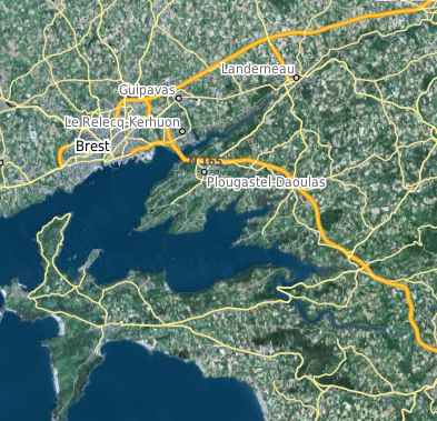
OpenStreetMap carte style "transparent"
carte semi transparente réalisée à partir de la base OpenStreetMap, pour superposition sur un autre fond de plan
Simple
- Date (Publication)
- 2011-12-01
- Edition
- permanente
- Identifier
- https://geobretagne.fr/geonetwork/apps/georchestra/?uuid=3303a14b-44af-4950-b067-f43ddc0f483f
- Purpose
- Fond de plan libre
- Status
- On going
- Maintenance and update frequency
- Daily
- Maintenance note
- néant
- GéoBretagne v 2.0
-
- référentiels : fonds cartographiques
- INSPIRE themes
-
- Occupation des terres
- Theme
-
- données ouvertes
- Use limitation
- Usage libre sous responsabilité du réutilisateur
- Access constraints
- Other restrictions
- Use constraints
- Other restrictions
- Other constraints
- Usage libre avec mention "(c) les contributeurs d’OpenStreetMap"
- Spatial representation type
- Grid
- Denominator
- 5000
- Metadata language
- fre
- Topic category
-
- Imagery base maps earth cover
- Description
- France
N
S
E
W
))
- Reference system identifier
- EPSG / EPSG:2154 / 7.5.0.1
- Topology level
- Topology 1D
- Geometric object type
- Composite
Distributor
- Name
- planet.pbf
- Version
- 1.0
- OnLine resource
-
osm:roads
(
OGC:WMS
)
OpenStreetMap - carte style "transparent"
- OnLine resource
-
Format pbf depuis http://download.geofabrik.de/
(
WWW:DOWNLOAD-1.0-http--download
)
Format pbf depuis http://download.geofabrik.de/
- Hierarchy level
- Dataset
Conformance result
- Date (Creation)
- 2004-01-01
- Explanation
- Non Evalué
- Pass
- No
- Statement
- contributeurs OpenStreetMap sous la licence Open Data Commons Open Database License
- File identifier
- 3303a14b-44af-4950-b067-f43ddc0f483f XML
- Metadata language
- fre
- Character set
- UTF8
- Parent identifier
- OpenStreetMap base europe 60e76d20-52d3-4710-b17d-50b12c3c312d
- Hierarchy level
- Dataset
- Date stamp
- 2020-02-11T10:15:21
- Metadata standard name
- ISO 19115
- Metadata standard version
- 1.0
Point of contact
partenariat GéoBretagne
-
équipe GéoBretagne
10 rue Maurice Fabre
,
RENNES
,
35065
,
France
Overviews
Spatial extent
N
S
E
W
Provided by

Associated resources
Not available