Geopal
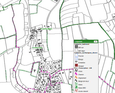
Informations linéaires des documents d'urbanisme de Dinan Agglomération
Simple
- Alternate title
- PLUI Dinan Agglomération
- Date (Revision)
- 2020-01-27
- Identifier
- fr-200068989-dinan-agglomeration--prescription_lineaires-urbanisme
- Status
- Completed
- Maintenance and update frequency
- As needed
- Maintenance note
- La mise à jour se fait au fur et à mesure des modification des documents
- Keywords
-
- urbanisme
- dinan agglomeration
- plui
- données ouvertes
- GéoBretagne v 2.0
-
- urbanisme et foncier : planification et documents d'urbanisme
- INSPIRE themes
-
- Zones de gestion, de restriction ou de réglementation et unités de déclaration
- GEMET
-
- document d'urbanisme
- urbanisme
- Use limitation
- Usage libre sous réserve des mentions obligatoires sur tout document de diffusion : "Source : Dinan agglomération"
- Use limitation
- Licence ouverte v2.0 : https://www.etalab.gouv.fr/wp-content/uploads/2017/04/ETALAB-Licence-Ouverte-v2.0.pdf
- Access constraints
- Other restrictions
- Use constraints
- License
- Other constraints
- Pas de restriction d’accès public
- Spatial representation type
- Vector
- Denominator
- 5000
- Metadata language
- fre
- Topic category
-
- Planning cadastre
))
- Reference system identifier
- RGF93 / Lambert-93 (EPSG:2154)
- Topology level
- Abstract
- Geometric object type
- Surface
Distributor
- Name
- ESRI Shapefile
- Version
- 1.0
- OnLine resource
-
information_lin_plui
(
OGC:WMS
)
Informations de type linéaire des documents d'urbanisme de Dinan Agglomération
- OnLine resource
-
information_lin_plui
(
OGC:WFS
)
Informations de type linéaire des documents d'urbanisme de dinan agglomeration
- OnLine resource
-
Informations de type linéaire des documents d'urbanisme de Dinan Agglomération (Téléchargement) (shp - Lambert 93)
(
WWW:DOWNLOAD-1.0-http--download
)
Informations de type linéaire des documents d'urbanisme de Dinan Agglomération (Téléchargement) (shp - Lambert 93)
- Hierarchy level
- Dataset
Conformance result
- Date (Publication)
- 2020-03-20
- Explanation
- Non Evalué
- Pass
- No
- Statement
- Numérisation des plans des documents d'urbanisme basé sur le référentiel du cadastre
- File identifier
- ab06d156-3561-45b6-b45b-798e987c484b XML
- Metadata language
- fre
- Character set
- UTF8
- Hierarchy level
- Dataset
- Date stamp
- 2021-09-24T15:55:36
- Metadata standard name
- ISO 19115
Overviews
Spatial extent
Provided by